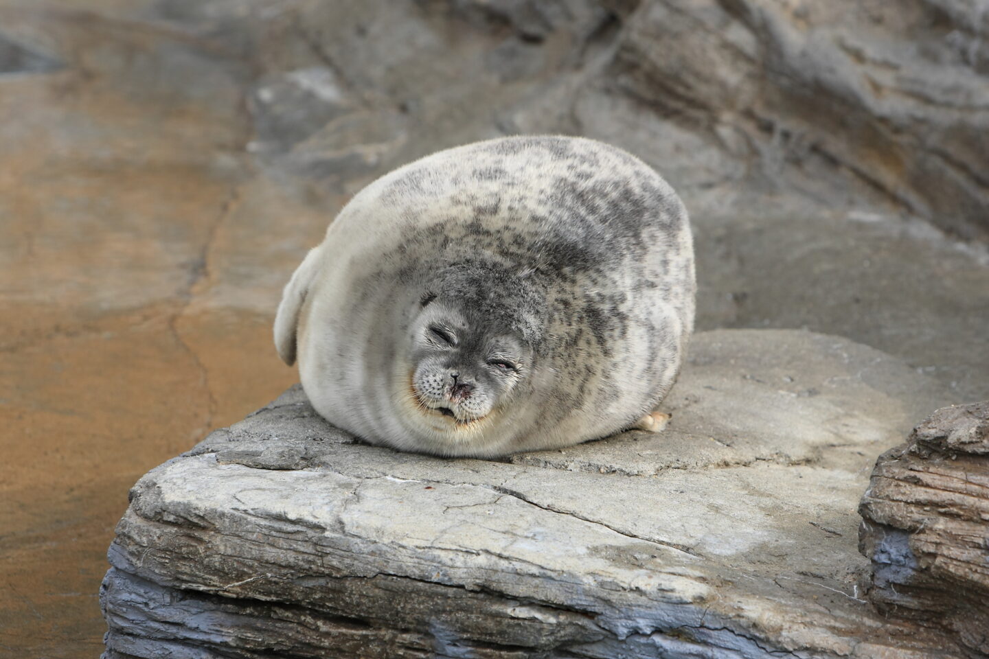
National Oceanic and Atmospheric Administration scientists are preparing to use machine learning (ML) to more easily monitor threatened ice seal populations in Alaska between April and May.
Copyright by www.fedscoop.com
 Ice flows are critical to seal life cycles but are melting due to climate change — which has hit the Arctic and sub-Arctic regions hardest. So scientists are trying to track species’ population distributions.
But surveying millions of aerial photographs of sea ice a year for ice seals takes months. And the data is outdated by the time statisticians analyze it and share it with the NOAA assistant regional administrator for protected resources in Juneau, according to a Microsoft blog post .
NOAA’s Juneau office oversees conservation and recovery programs for marine mammals statewide and can instruct other agencies to limit permits for activities that might hurt species’ feeding or breeding. The faster NOAA processes scientific data, the faster it can implement environmental sustainability policies.
“The amazing thing is how consistent these problems are from scientist to scientist,” Dan Morris, principal scientist and program director of Microsoft AI for Earth, told FedScoop.
To speed up monitoring from months to mere hours, NOAA’s Marine Mammal Laboratory partnered with AI for Earth in the summer of 2018 to develop ML models recognizing seals in real-time aerial photos.
The models were trained during a one-week hackathon using 20 terabytes of historical survey data in the cloud.
In 2007, the first NOAA survey done by helicopter captured about 90,000 images that took months to analyze and find 200 seals. The challenge is the seals are solitary, and aircraft can’t fly so low as to spook them. But still, scientists need images to capture the difference between threatened bearded and ringed seals and unthreatened spotted and ribbon seals.
Thank you for reading this post, don't forget to subscribe to our AI NAVIGATOR!
Alaska’s rainy, cloudy climate has led scientists to adopt thermal and color cameras, but dirty ice and reflections continue to interfere. A 2016 survey of 1 million sets of images took three scientists six months to identify about 316,000 seal hotspots.
Microsoft’s ML, on the other hand, can distinguish seals from rocks and, coupled with improved cameras on a NOAA turboprop airplane, will be used in flyovers of the Beaufort Sea this spring.
Paving the way for AI
NOAA released a finalized Artificial Intelligence Strategy on Tuesday aimed at reducing the cost of data processing and incorporating AI into scientific technologies and services addressing mission priorities.
“They’re a very mature organization in terms of thinking about incorporating AI into remote processing of their data,” Morris said.
The camera systems on NOAA planes are also “quite sophisticated” because the agency’s “forward-thinking” ecologists are assembling the best hardware, software and expertise for their biodiversity surveys, he added.
While the technical integration of AI for Earth’s models with the software systems on NOAA’s planes has taken a year to perfect, another agency project was able to apply a similar algorithm more quickly.
The Cook Inlet’s endangered beluga whale population numbered 279 last year — down from about 1,000 three decades ago.
Belugas increasingly rely on echolocation to communicate with sediment from melting glaciers dirtying the water they live in. But the noise from an increasing number of cargo ships and military and commercial flights can disorient the whales. Calves can get lost if they can’t hear their mothers’ clicks and whistles, and adults can’t catch prey or identify predators.
NOAA is using ML tools to distinguish a whale’s whistle from man-made noises and identify areas where there’s dangerous overlap, such as where belugas feed and breed. The agency can then limit construction or transportation during those periods, according to the blog post. […]
Read more -www.fedscoop.com


National Oceanic and Atmospheric Administration scientists are preparing to use machine learning (ML) to more easily monitor threatened ice seal populations in Alaska between April and May.
Copyright by www.fedscoop.com
But surveying millions of aerial photographs of sea ice a year for ice seals takes months. And the data is outdated by the time statisticians analyze it and share it with the NOAA assistant regional administrator for protected resources in Juneau, according to a Microsoft blog post .
NOAA’s Juneau office oversees conservation and recovery programs for marine mammals statewide and can instruct other agencies to limit permits for activities that might hurt species’ feeding or breeding. The faster NOAA processes scientific data, the faster it can implement environmental sustainability policies.
“The amazing thing is how consistent these problems are from scientist to scientist,” Dan Morris, principal scientist and program director of Microsoft AI for Earth, told FedScoop.
To speed up monitoring from months to mere hours, NOAA’s Marine Mammal Laboratory partnered with AI for Earth in the summer of 2018 to develop ML models recognizing seals in real-time aerial photos.
The models were trained during a one-week hackathon using 20 terabytes of historical survey data in the cloud.
In 2007, the first NOAA survey done by helicopter captured about 90,000 images that took months to analyze and find 200 seals. The challenge is the seals are solitary, and aircraft can’t fly so low as to spook them. But still, scientists need images to capture the difference between threatened bearded and ringed seals and unthreatened spotted and ribbon seals.
Thank you for reading this post, don't forget to subscribe to our AI NAVIGATOR!
Alaska’s rainy, cloudy climate has led scientists to adopt thermal and color cameras, but dirty ice and reflections continue to interfere. A 2016 survey of 1 million sets of images took three scientists six months to identify about 316,000 seal hotspots.
Microsoft’s ML, on the other hand, can distinguish seals from rocks and, coupled with improved cameras on a NOAA turboprop airplane, will be used in flyovers of the Beaufort Sea this spring.
Paving the way for AI
NOAA released a finalized Artificial Intelligence Strategy on Tuesday aimed at reducing the cost of data processing and incorporating AI into scientific technologies and services addressing mission priorities.
“They’re a very mature organization in terms of thinking about incorporating AI into remote processing of their data,” Morris said.
The camera systems on NOAA planes are also “quite sophisticated” because the agency’s “forward-thinking” ecologists are assembling the best hardware, software and expertise for their biodiversity surveys, he added.
While the technical integration of AI for Earth’s models with the software systems on NOAA’s planes has taken a year to perfect, another agency project was able to apply a similar algorithm more quickly.
The Cook Inlet’s endangered beluga whale population numbered 279 last year — down from about 1,000 three decades ago.
Belugas increasingly rely on echolocation to communicate with sediment from melting glaciers dirtying the water they live in. But the noise from an increasing number of cargo ships and military and commercial flights can disorient the whales. Calves can get lost if they can’t hear their mothers’ clicks and whistles, and adults can’t catch prey or identify predators.
NOAA is using ML tools to distinguish a whale’s whistle from man-made noises and identify areas where there’s dangerous overlap, such as where belugas feed and breed. The agency can then limit construction or transportation during those periods, according to the blog post. […]
Read more -www.fedscoop.com
Share this: