Hurricane Dorian’s devastating impact on the Bahamas in August 2019 was yet another reminder of the massive threat tropical storms pose to life and property.
Copyright by theonebrief.com
 Warming oceans and a changing climate raise the possibility of dangerous tropical storms becoming more powerful and more frequent, making coastal areas much more vulnerable to flooding and storm damage. While proper planning and risk management before the event is essential , new technology tools like drones, thermal imaging and artificial intelligence (AI) are helping to speed up the recovery process after a storm. Drones were deployed immediately following 2018’s Hurricane Michael – a storm more powerful at landfall than 2005’s Hurricane Katrina and rivaling 1992’s Hurricane Andrew. These drones were able to survey unsafe areas, such as inaccessible roads and downed power lines, to obtain detailed damage assessments of properties, allowing businesses to begin the claims process and hasten recovery efforts.
Jill Dalton, managing director of U.S. Property Risk Consulting at Aon, offers an example of drones’ use in post–Hurricane Michael recovery. One local business used drones to identify the best locations to set up temporary pop-up tent stores to serve the community; according to Dalton, “Getting operations running was crucial to helping the community get the food and medicine they needed while mitigating business interruption.”
“After a disaster like hurricanes, safely gaining access to damaged areas as quickly as possible helps determine what’s needed to get businesses up and running,” says Peter Jagger, managing director at Aon. “That’s where drones and other technologies like infrared [thermal imaging] come in, allowing us to make damage assessments more quickly and accurately, speed recovery and limit business disruptions.”
Emerging technologies and digital platforms can provide new, safer and better ways of gathering information on storm damage and facilitating restoration and recovery.
Technology tools – such as drones, mobile apps, building sensors and artificial intelligence – provide new ways to capture information about buildings and their condition before, during and after storms. Digital platforms allow that information to be shared and analyzed more quickly and in greater detail than before.
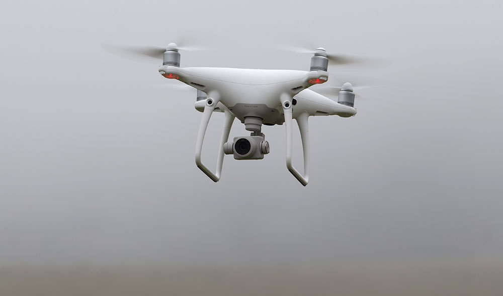
Drones have become effective imaging tools, both before and after storms: to examine structures’ conditions ahead of the hurricane season as well as to assess post-storm damage.
“Drone technology is giving us great feedback on external damage to buildings,” Jagger comments.
Thank you for reading this post, don't forget to subscribe to our AI NAVIGATOR!
Thanks to remote-controlled flight, drones can capture images of areas that might otherwise be inaccessible after a storm or that might be unsafe for a worker to inspect. And the addition of infrared scanners or thermal imaging can provide detailed information on parts of a building that might have damage. Drones have also been valuable for mapping road closures and monitoring power outages.
“In addition to assessing damages, drones are also being used extensively on the pre-loss side,” Jagger offers. Drone imaging can help determine property values or even guide property-loss-control efforts before a storm. “Information from a pre-loss perspective gives us a good comparison after an event to help businesses build stronger claims,” he adds. […]
Read more – theonebrief.com


Hurricane Dorian’s devastating impact on the Bahamas in August 2019 was yet another reminder of the massive threat tropical storms pose to life and property.
Copyright by theonebrief.com
Jill Dalton, managing director of U.S. Property Risk Consulting at Aon, offers an example of drones’ use in post–Hurricane Michael recovery. One local business used drones to identify the best locations to set up temporary pop-up tent stores to serve the community; according to Dalton, “Getting operations running was crucial to helping the community get the food and medicine they needed while mitigating business interruption.”
“After a disaster like hurricanes, safely gaining access to damaged areas as quickly as possible helps determine what’s needed to get businesses up and running,” says Peter Jagger, managing director at Aon. “That’s where drones and other technologies like infrared [thermal imaging] come in, allowing us to make damage assessments more quickly and accurately, speed recovery and limit business disruptions.”
Emerging technologies and digital platforms can provide new, safer and better ways of gathering information on storm damage and facilitating restoration and recovery.
Technology tools – such as drones, mobile apps, building sensors and artificial intelligence – provide new ways to capture information about buildings and their condition before, during and after storms. Digital platforms allow that information to be shared and analyzed more quickly and in greater detail than before.
Drones have become effective imaging tools, both before and after storms: to examine structures’ conditions ahead of the hurricane season as well as to assess post-storm damage.
“Drone technology is giving us great feedback on external damage to buildings,” Jagger comments.
Thank you for reading this post, don't forget to subscribe to our AI NAVIGATOR!
Thanks to remote-controlled flight, drones can capture images of areas that might otherwise be inaccessible after a storm or that might be unsafe for a worker to inspect. And the addition of infrared scanners or thermal imaging can provide detailed information on parts of a building that might have damage. Drones have also been valuable for mapping road closures and monitoring power outages.
“In addition to assessing damages, drones are also being used extensively on the pre-loss side,” Jagger offers. Drone imaging can help determine property values or even guide property-loss-control efforts before a storm. “Information from a pre-loss perspective gives us a good comparison after an event to help businesses build stronger claims,” he adds. […]
Read more – theonebrief.com
Share this: