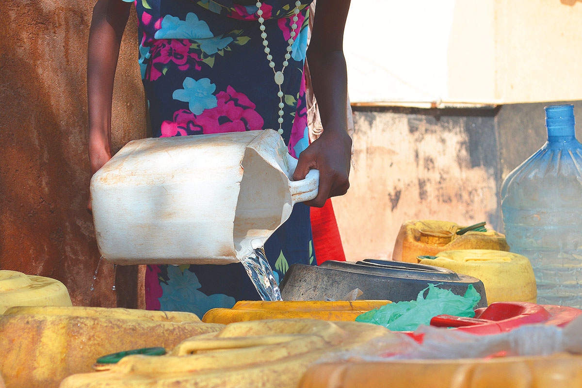
An artificial intelligence tool can predict where conflicts related to water scarcity are most likely to arise
copyright by geographical.co.uk
 Researchers from the Netherlands-based Water, Peace and Security partnership (WPS) have announced the creation of a global forecasting tool that can predict where conflicts arising from water insecurity are most likely to break out. The system uses artificial intelligence to create patterns from a wide rage of geographical and socio-economic data and can identify potential conflict ‘hotspots’ up to a year in advance.
Keep an eye on the world
Get Geographical’s latest news delivered straight to your inbox every Friday, plus a collection of free eBooks on the subjects that matter to you!
Susanne Schmeier, a senior lecturer in water law and diplomacy at the HE Delft Institute for Water Education , which leads the WPS, explains that predicting these types of conflicts isn’t as simple as it might first appear. ‘There is increasingly a discourse that links water scarcity and security with conflict instability,’ she says, ‘but at the same time our understanding is quite limited as to what actually links them.’ It isn’t simply a case of conflicts increasing every time a water security incident occurs. Several regional and cultural factors also play a part, making prediction difficult.
The researchers test-ran the AI tool in Mali, using historical data from 2018. They found that it predicted more than three-quarters of the water-related conflicts in Mali’s Inner Niger Delta, including some that are currently escalating. To achieve this, the system is fed with a variety of data. ‘First there’s the natural side of things – so hydrological data, rainfall data, evapotranspiration, soil moisture and a number of other natural factors,’ explains Schmeier. This enables it to identify areas where availability of water is likely to become a concern.
‘Then we also look at vulnerability in terms of socio-economic and political developments – anything from a regime type to the state of development in a region,’ she adds. This additional information is weighed-up to determine whether it increases or decreases the chance of conflict. Other factors might include whether the water insecurity is likely to affect crops. ‘Fewer crops would indicate rising food prices which tends to be one of the key drivers of conflict,’ says Schmeier. ‘We also use child mortality as one of the proxies. So we assume that if child mortality is relatively high, there is limited coping capacity in a society.’
The tool is just one part of a wider WPS project that aims to increase the availability of information which could help avoid water-related conflicts. Once artificial intelligence has made its predictions the WPS researchers use other analytical tools to zoom-in on a certain region and find out exactly what’s driving water insecurity. This might be decreased rainfall, increased population (perhaps due to an influx of refugees), or water might be being diverted away from a community. From there, they can work with stakeholders on the ground to formulate responses.[…]
read more – copyright by geographical.co.uk
Thank you for reading this post, don't forget to subscribe to our AI NAVIGATOR!


An artificial intelligence tool can predict where conflicts related to water scarcity are most likely to arise
copyright by geographical.co.uk
Keep an eye on the world
Get Geographical’s latest news delivered straight to your inbox every Friday, plus a collection of free eBooks on the subjects that matter to you!
Susanne Schmeier, a senior lecturer in water law and diplomacy at the HE Delft Institute for Water Education , which leads the WPS, explains that predicting these types of conflicts isn’t as simple as it might first appear. ‘There is increasingly a discourse that links water scarcity and security with conflict instability,’ she says, ‘but at the same time our understanding is quite limited as to what actually links them.’ It isn’t simply a case of conflicts increasing every time a water security incident occurs. Several regional and cultural factors also play a part, making prediction difficult.
The researchers test-ran the AI tool in Mali, using historical data from 2018. They found that it predicted more than three-quarters of the water-related conflicts in Mali’s Inner Niger Delta, including some that are currently escalating. To achieve this, the system is fed with a variety of data. ‘First there’s the natural side of things – so hydrological data, rainfall data, evapotranspiration, soil moisture and a number of other natural factors,’ explains Schmeier. This enables it to identify areas where availability of water is likely to become a concern.
‘Then we also look at vulnerability in terms of socio-economic and political developments – anything from a regime type to the state of development in a region,’ she adds. This additional information is weighed-up to determine whether it increases or decreases the chance of conflict. Other factors might include whether the water insecurity is likely to affect crops. ‘Fewer crops would indicate rising food prices which tends to be one of the key drivers of conflict,’ says Schmeier. ‘We also use child mortality as one of the proxies. So we assume that if child mortality is relatively high, there is limited coping capacity in a society.’
The tool is just one part of a wider WPS project that aims to increase the availability of information which could help avoid water-related conflicts. Once artificial intelligence has made its predictions the WPS researchers use other analytical tools to zoom-in on a certain region and find out exactly what’s driving water insecurity. This might be decreased rainfall, increased population (perhaps due to an influx of refugees), or water might be being diverted away from a community. From there, they can work with stakeholders on the ground to formulate responses.[…]
read more – copyright by geographical.co.uk
Thank you for reading this post, don't forget to subscribe to our AI NAVIGATOR!
Share this: